How can a physical place become a digital environment rather than just a collection of photographs?
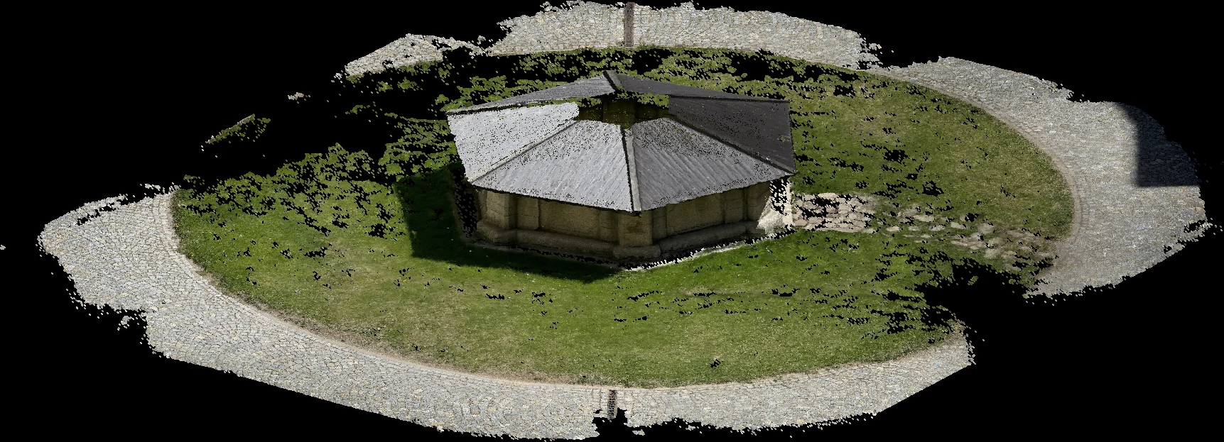
Rendered from the scan itself — 2.6 million captured points. The ragged edge is the honest boundary of the capture, not a crop. Captured and reconstructed in RealityScan
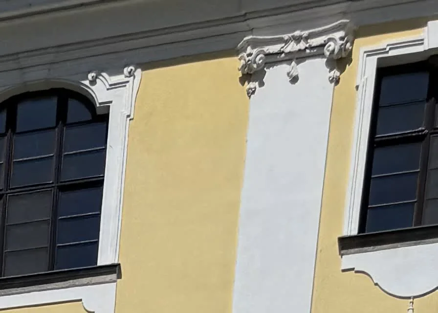
One frame from the capture pass. Coverage like this — close, overlapping, unglamorous — is what decides whether anything can be reconstructed at all.
Ne denedim
Photogrammetry, LiDAR and drone capture of real buildings and objects, run through reconstruction into point clouds and meshes — a record with dimensions rather than a record with framing.
Ne oldu
Almost all of the risk sits in the capture. A generous, boring, systematic pass reconstructs better than any amount of cleanup applied to a rushed one.
Scanning a place turned out not to be the same as interpreting it. The geometry is only the material; deciding what a visitor should notice is a separate act.
Sonraki soru
What has to be added to a reconstruction before it stops being a model and starts being a space?